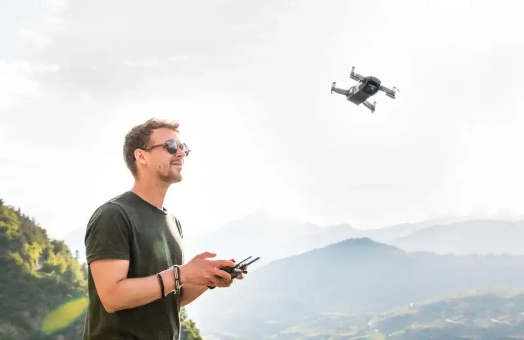
Beagle is a data integration infrastructure.
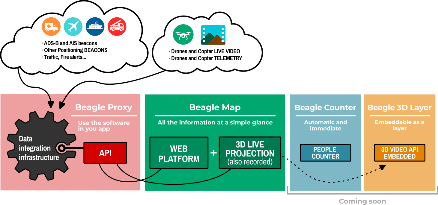
To optimize the use of data created by Beagle, we offer a flexible product scheme that can be easily embedded into multiple applications.
Beagle Proxy
Beagle Proxy (the Beagle API) is a backend server component that integrates multi-protocol video and positioning information so you can easily use it from your own applications.
Supports video and telemetry from:
- Helicopter cameras (including L3Harris Wescam, FLIR Star SAFIRE, etc)
- Commercial drones (including DJI and others)
- NATO standard drones (STANAG 4609 compliant)
- Telemetry from third-party aircraft (from their ADS-B or mode-S beacons)
- Third-party vessels (from their AIS class A or class B beacons)
- LoRA personal beacons and many others.
Beagle Map
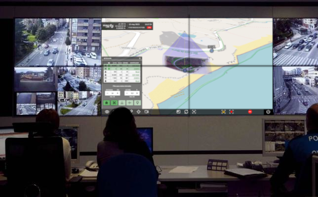
Beagle Map is a web platform available from anywhere with an internet connection.
In real time and visible to all users.
The platform allows you to manage multiple drones simultaneously, switch cameras, record live sessions, save, export, and automatically share multimedia content.
It also allows you to measure distances and mark points on a map.
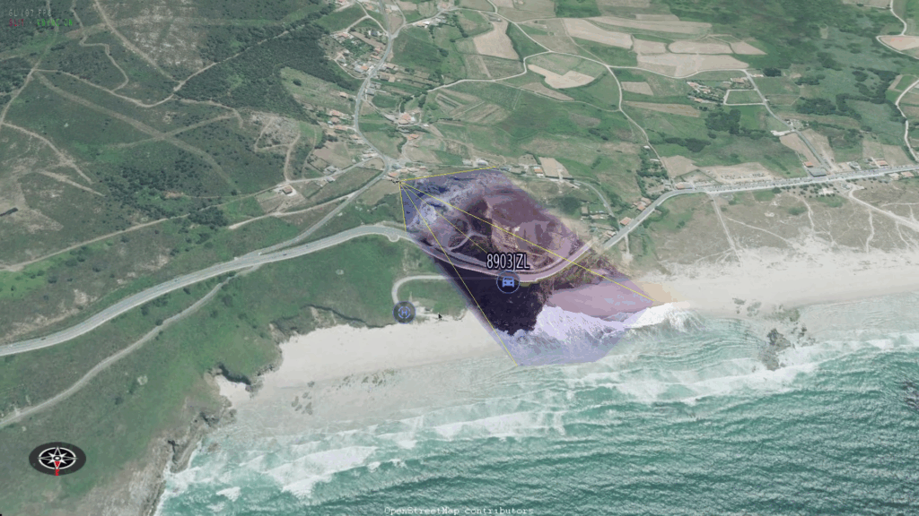
Beagle Map includes a 3D projection tools live video that correctly positions the video on the map with relief, orientation and context.
Also, It shows the position of all transmission beacons.

Beagle Counter
Beagle's new tool, which uses live video to estimate the number of people in the image.

Beagle 3D Layer
LIVE 3D PROJECTION
Integrate the live video projection function as an additional layer on the map you are already using.
coming soon
We are integrating with typical business maps. If you have any suggestions, schedule a meeting and we can discuss them.
Beagle advantages
Nothing is installed on the UAV
Connects automatically
Direct broadcast from the UAV remote
Real-time reception of video and drone position data (coordinates, altitude...)
Continuous reception of signals from multi-system beacons on the ground and real-time positioning of the detected media
Cloud or On Premises installation
Integration of the different parts into other platforms.
It facilitates work in Command Centers
Also for private security, locating people, vehicles, animals…
Functionalities
Watch videos live
Watch videos in 3D live or recorded
Check the position of all participants
Manage users, pilots and drones
Share information
Create marks
Measure distances and areas
Filter detected objects
Choose different map types
NEW FUNCTIONALITY
People counter for crowds
Technical Specs
REMOTE
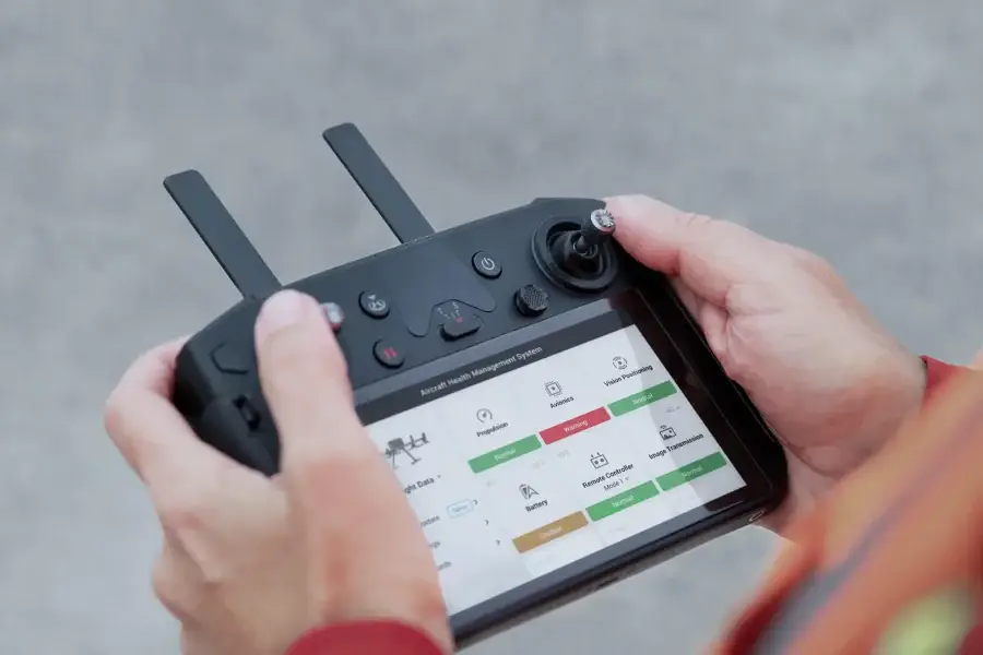
The remote can connect via WiFi (4G router, Starlink, ...).

SERVERS
Servers can be public (cloud) or private (client datacenter)

TELEMETRY
Telemetry is sent directly from the drone controller to the servers, protected with SSL encryption.

USOS
El esquema de productos de Beagle es muy flexible, permitiendo un gran abanico de usos y tipos de instalación
Integrations and compatibilities
These are the models integrated with our system and they connect automatically.
If you are interested in integration with a specific model, please do not hesitate to contact us.
Want to know more?
Contact us for any tecnical or commercial question.

